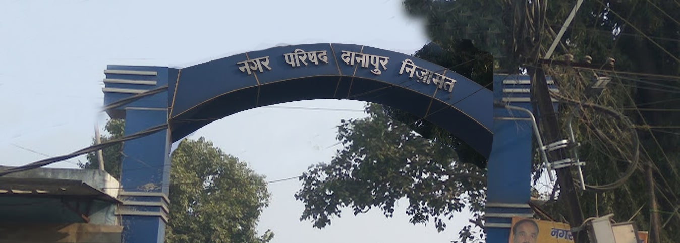
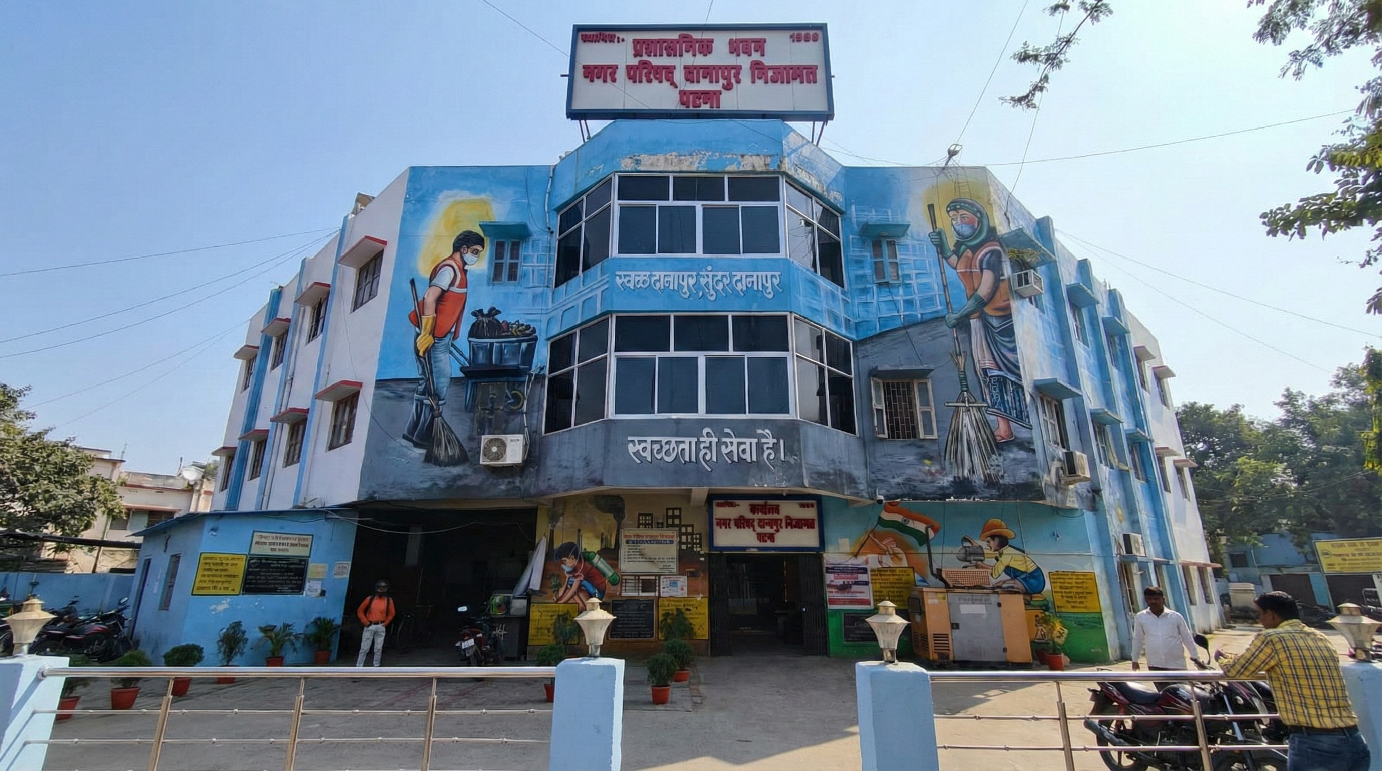
Nagar Parishad Danapur Nizamat
नगर परिषद् दानापुर निजामत
Call us at 1800 345 7244
Feedback/Complain
Official Login
Home
Property / Holding Tax
Search Assessment
Search Property
View Property Details
View Payment Details
Pay Property Tax (Online)
Know Your Tax Collector
Official Login
Contact Us
Download Apk
Gallery
responsive slider
 Nagar Parishad Danapur Nizamat
Nagar Parishad Danapur Nizamat
Nagar Parishad Danapur Nizamat